Death Valley National Park has been a destination that always came up on our list of places to go but never quite materialized. It just so happened that a friend of ours and a small group planned a trip to Death Valley and the dates landed perfectly between all of our other commitments. Before we knew it, we were all packed up and ready to go for 3 days of excellent exploration.
Day 1 & 2:
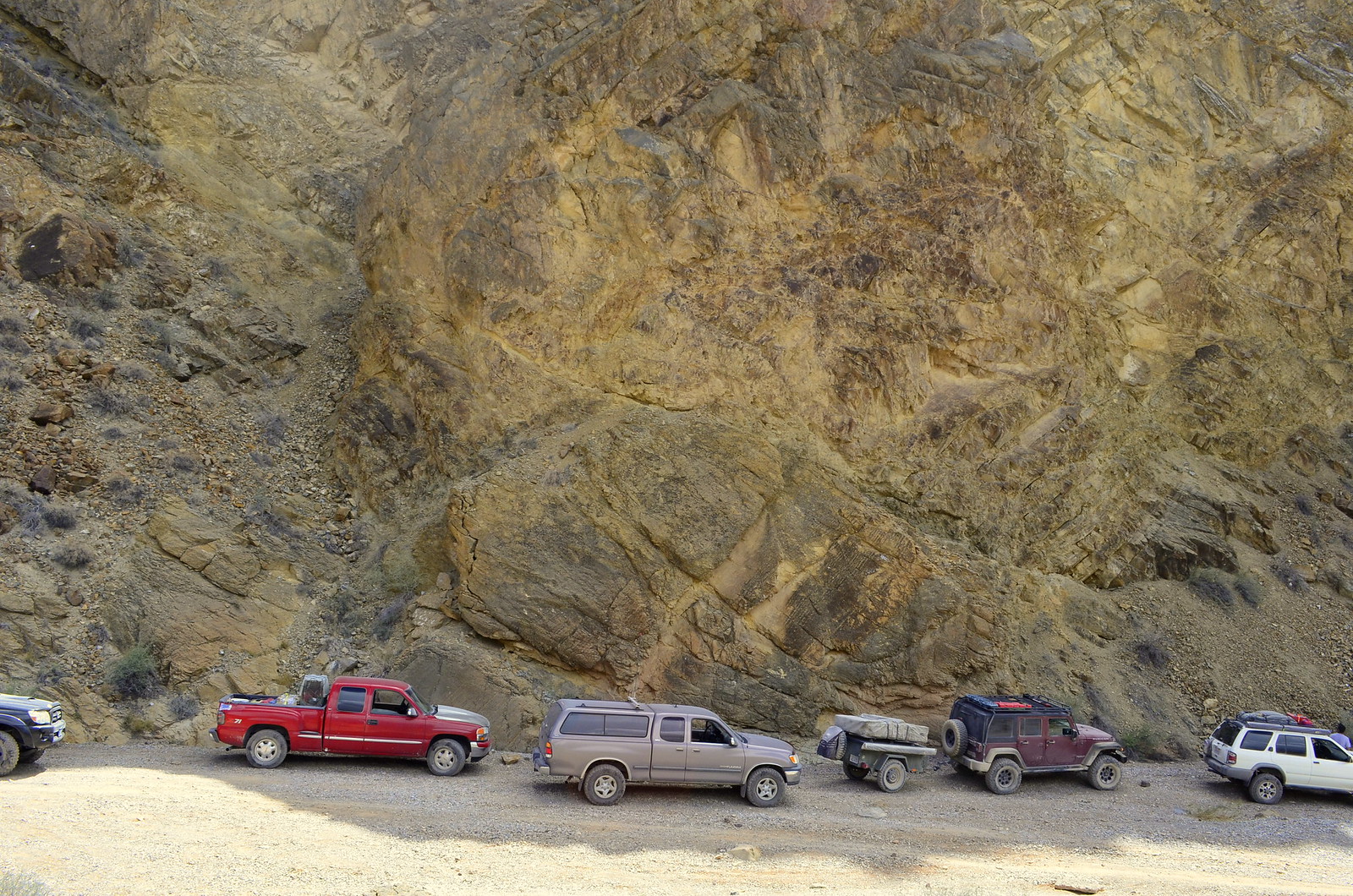
We headed out after a busy day of work to camp for the night at our meeting point for the next day, the Wildrose Campground. Wildrose is a great place to stay if you are looking for a developed area. It has 23 sites available, with running water, tables, fire pits, and pit toilets; there is no fee to stay. It is open all year, and accessible by any type of vehicle. We rolled in pretty late that night, greeted our friends Tim and Molly, popped open our tent and went to bed.
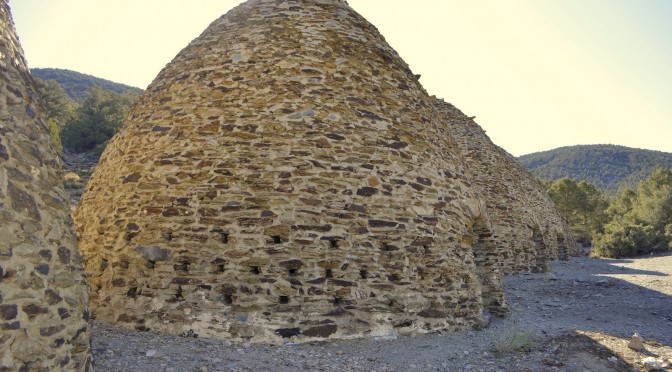
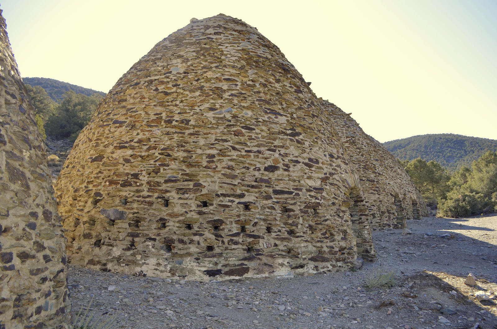
The next morning, the rest of the group arrived and after a quick drivers meeting and route discussion, some of us headed over to see the Charcoal Kilns at the nearby Wildrose Canyon. The Charcoal Kilns were said to be built in 1877 by the Modock Consolidated Mining Company to produce charcoal to fuel a nearby lead-silver mine’s smelters. Charcoal burns slower and hotter than wood, and is made from wood in kilns such as these to convert it to a roughly 96% carbon content. The particular kilns are about 25 feet high, and are very well preserved.
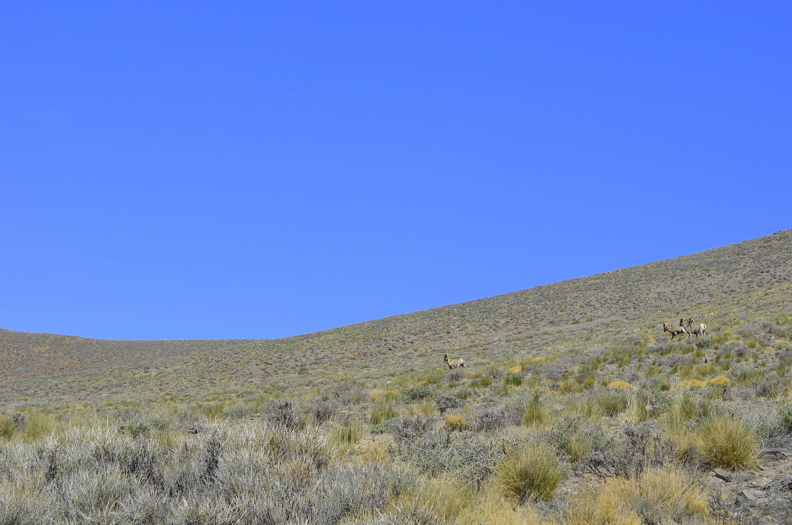
After the Kilns we headed towards the Stovepipe Wells Ranger station stopping at Aguereberry Point (Elevation 6433 ft) along the way. We were excited to spot wild Desert Bighorn Sheep roaming along the trail. Riley was certainly excited to encounter wild life, so we stopped and admired their behavior.
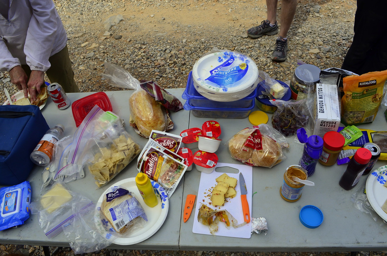
It was a hot day and we’d finally made it to Stovepipe Wells ranger station where we picked up a few supplies and purchased our permits. They also had National Park Passport stamps available, so we added Death Valley to our stamp collection. We stopped for lunch a few miles down from the Ranger Station at the dunes, the elevation was Sea Level, and the mid-day heat was on. We pulled to the pull-through spots in order to park the Jeep and trailer and ended up being quite the show for the tourists. Because of the heat and lack of shade, I deployed the ARB awning from the side of the trailer and we setup tables and chair underneath to have lunch. We had Japanese tourists actually stop and take pictures and we realized what glampers we were at the moment. Here we were having an elaborate community lunch, with ice cold drinks out of our refrigerators amidst such harsh environment. Creature comforts make all the difference in how you experience travel.
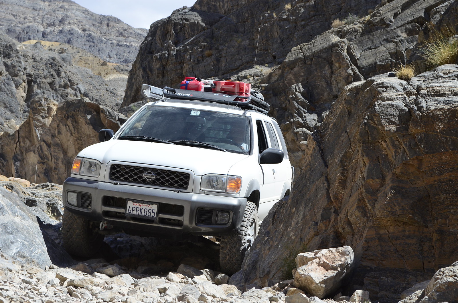
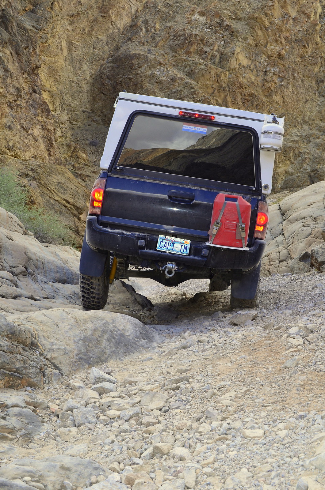
After lunch we made our way over to the little town of Beatty, Nevada for fuel and to try and source a spare thermostat for one of our group rigs that was experiencing a possible fault. Once fueled up and squared way, we headed over to Titus Canyon. The canyon has much to offer, with rocks dating to the Cambrian age (over 500 million years old). There is much history along the canyon, and it is home to several petroglyphs and abandoned structures, including a ghost town called Leadfield. We were surprised to find a first generation Toyota Prius deep into the Titus Canyon trail. The trail is not difficult, with only mild obstacles and small rocks along the way, but even so, that’s quite a gamble to take a Prius. It certainly made us feel a bit silly though, in our fully kitted rigs when you can do it in a Prius J. Sometimes folks take unnecessary risks when travelling National Parks, the assumption that help will always come along has claimed many lives.

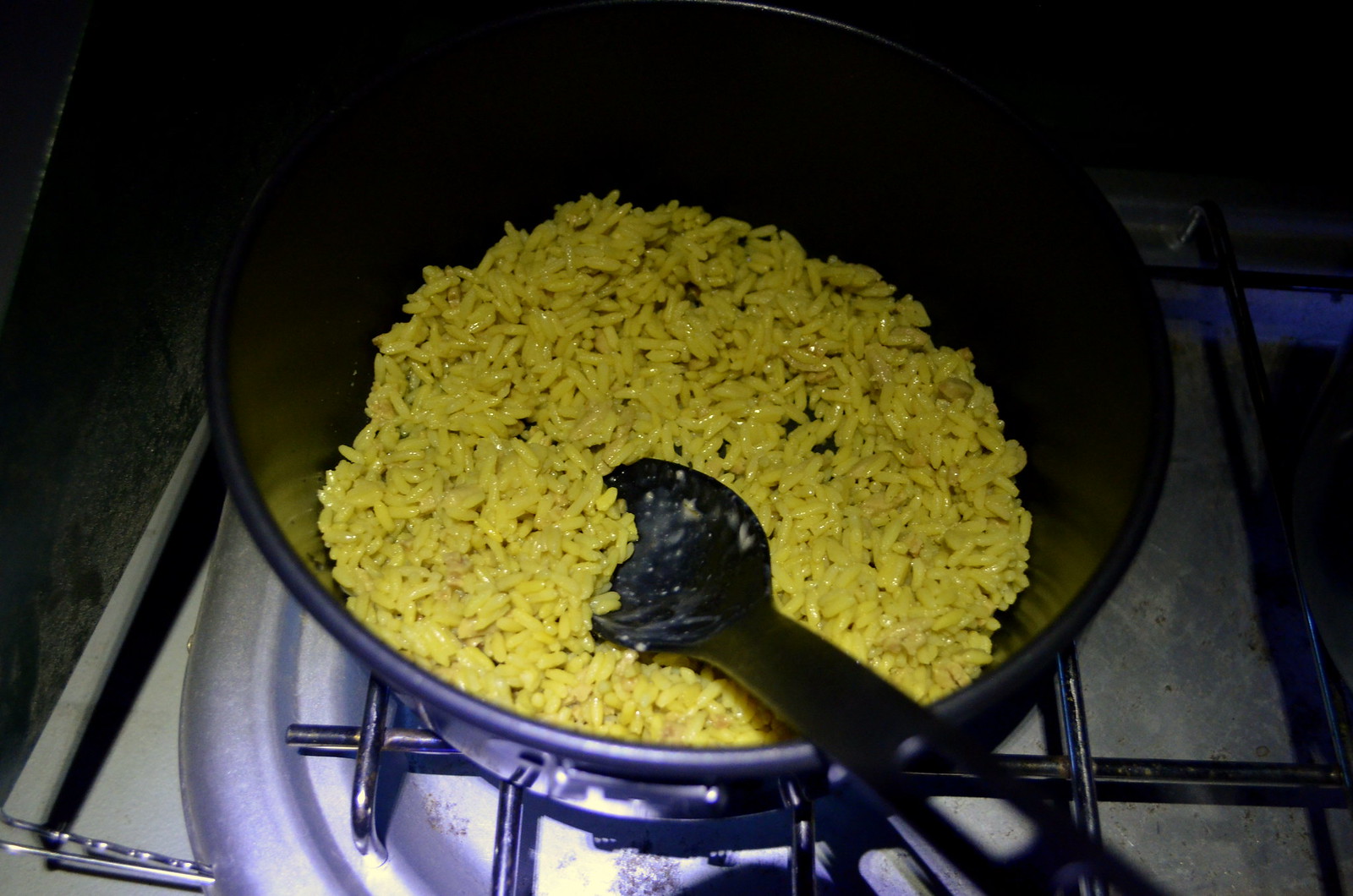
After Titus Canyon, we made our way over to Mesquite Campground, where we setup camp for the night and enjoyed a relaxing evening of good grub, good company, and great weather with an awesome clear sky all night. I cooked up some rice pilaf and pasta primavera and we enjoyed a lovely evening under the stars. We even made campfire baked cinnabons for dessert! 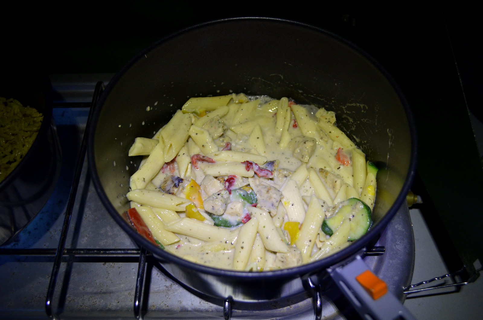
It was an adventurous day, and we were really beginning to appreciate the beauty of Death Valley National Park.
Day 2 Photo Gallery:
Day 3:
The next morning we were joined by another member of the group who had tracked us down following a SPOT Satellite track. Some good navigation skills and detective work had us all connected the next morning. We’d previously only met through interaction on the ExpeditionPortal.com forum.
We began Day 3 of our adventure in Death Valley by visiting Scotty’s Castle. Though not a real castle in the true sense of the word, it is a marvelous structure that is now maintained by the U.S. National Park Service. Scotty’s Castle is a two-story villa, it was constructed in 1922 through a peculiar partnership between a Prospector/conman and a millionaire. Walter Scott, known as “Death Valley Scotty”, conned millionaire Albert Mussey Johnson into investing in a fraudulent gold mine. Oddly enough, even after finding out the truth about the mine, the two became friends because Johnson was said to be intrigued by Scotty’s personality.
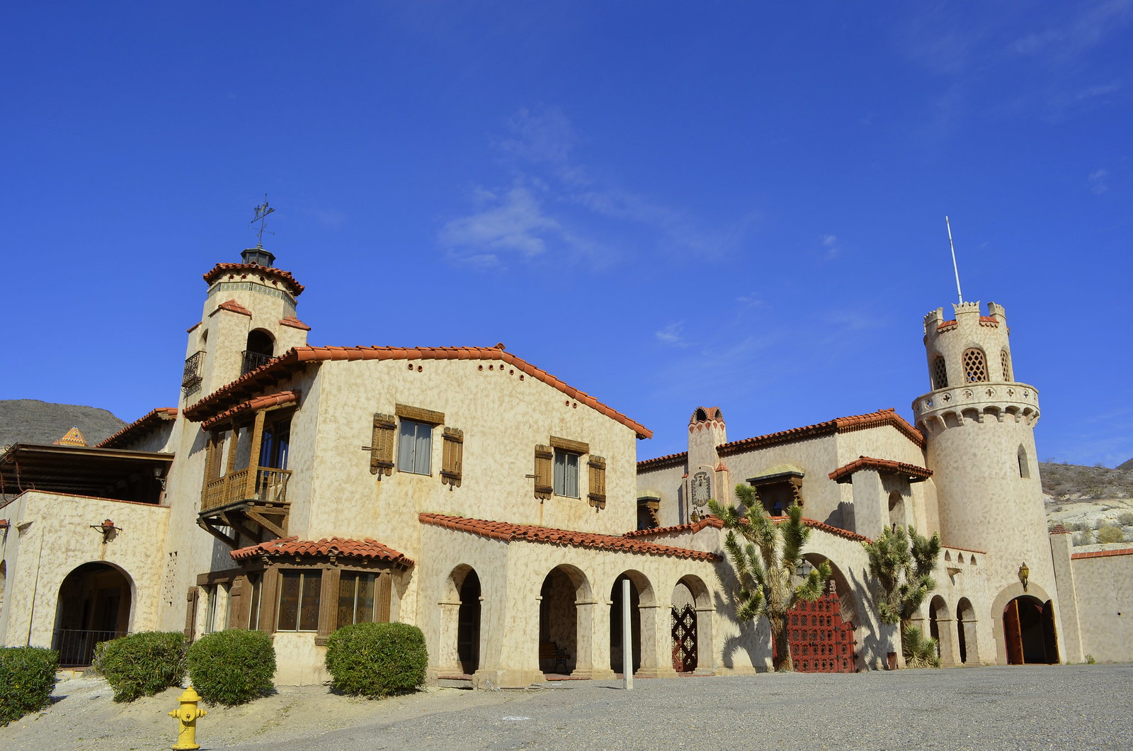

It is an interesting stop in a developed area accessible by any passenger vehicle. The inner workings of the castle and how water and electricity was supplied are quite fascinating. Tours of the inside of the castle are available for those with more time to explore.
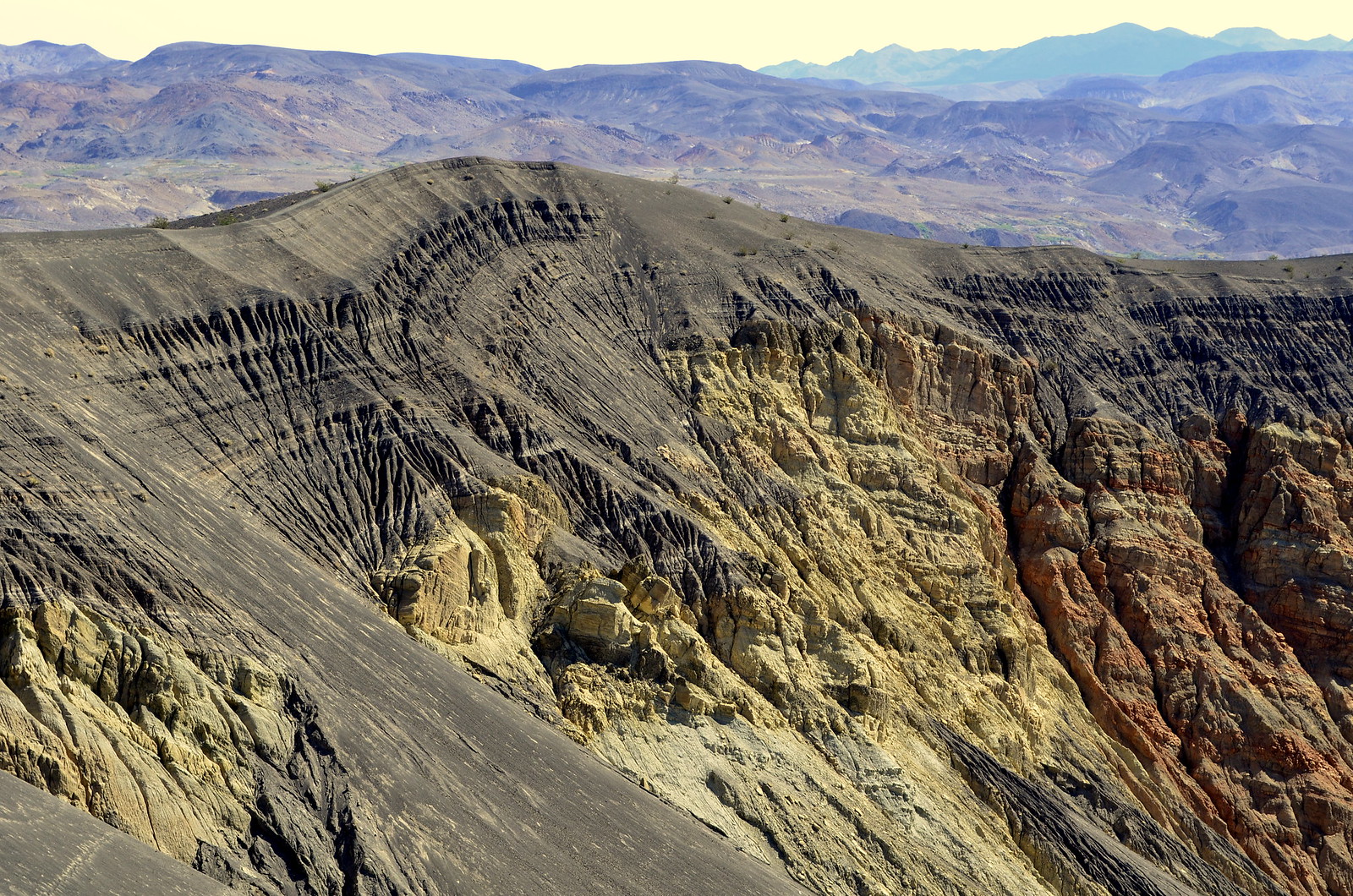
After the castle we made our way over to Ubehebe Crater, a half a mile wide volcanic crater that is over 700 feet deep. It is an impressive sight to see and a great way to get some geological jollies.

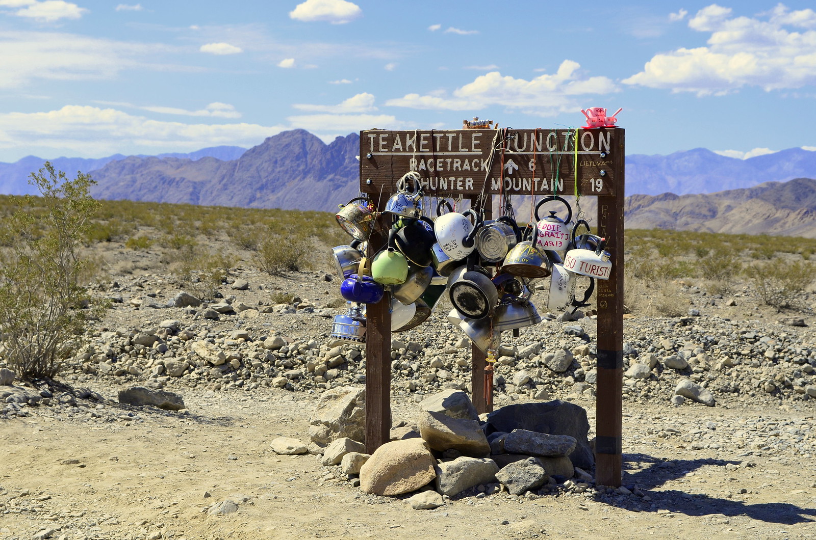
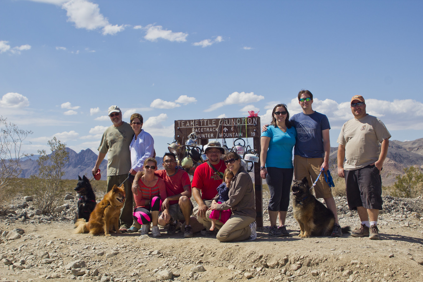
From the crater, we made our way to Teakettle Junction, another one of Death Valley’s peculiar destinations. This particular one is just a junction of remote desert roads on the road to the Racetrack Playa. Visitors are drawn to the area and adorn the sign with kettles of many varieties commonly containing their names or a message. Due to its remote location, it is a well-known marker as it stands out to every passerby.
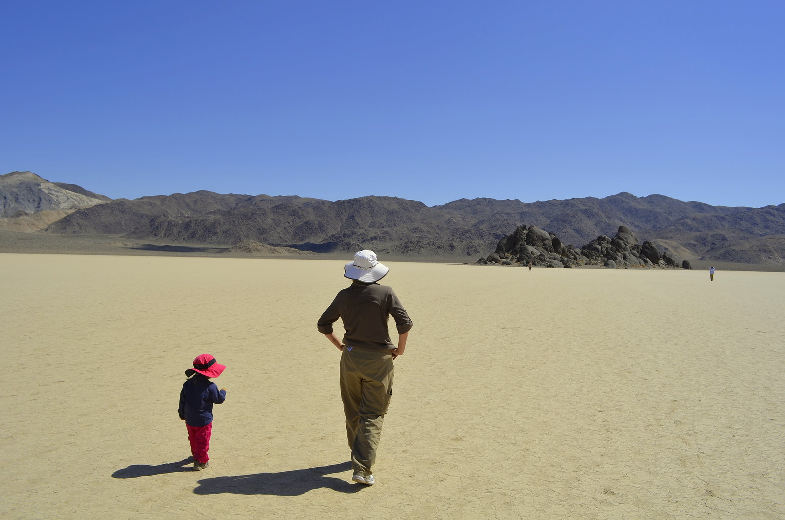
The washboard road continues and rattles anything in your vehicle loose that wasn’t properly torqued down. We found a high-speed pace and our tires aired down to 20psi to yield the best ride. Flying down the remote road you eventually make it to the Racetrack Playa. When you arrive, you know, as you are greeted by a vast open space of flat playa. These dry lake beds are the flattest of all natural surfaces.
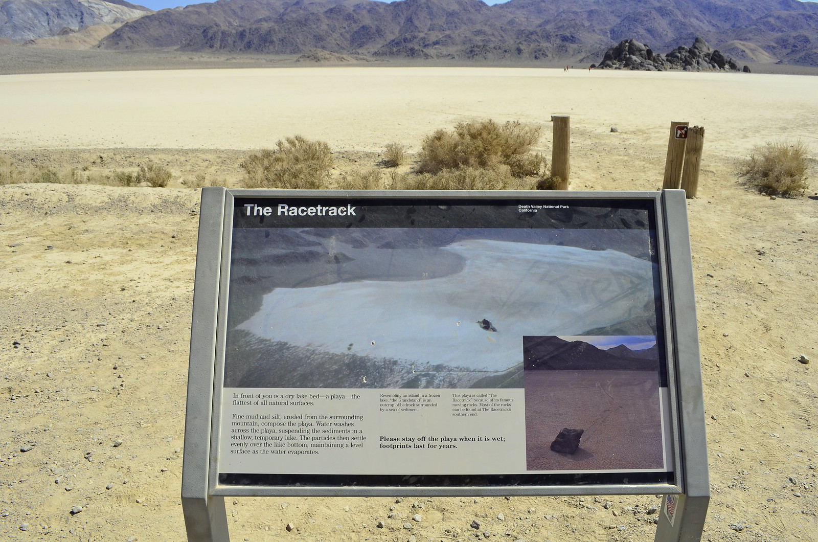
We set out on foot to explore and get immersed in the feeling of remoteness as you walk the flat open land covering over 3.5 square miles. The hexagonal cracks along the entire surface are a lulling view and enhance the openness of the terrain. Our stroll takes us to the Islands, two large bedrock formations at the north end.
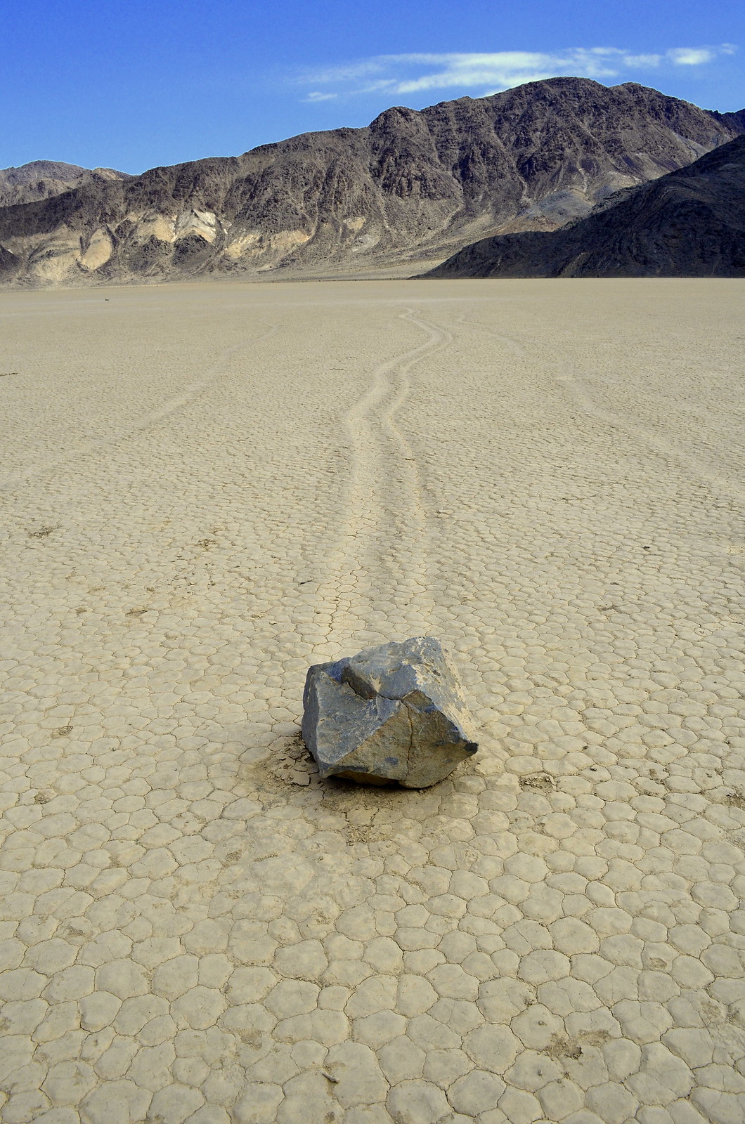
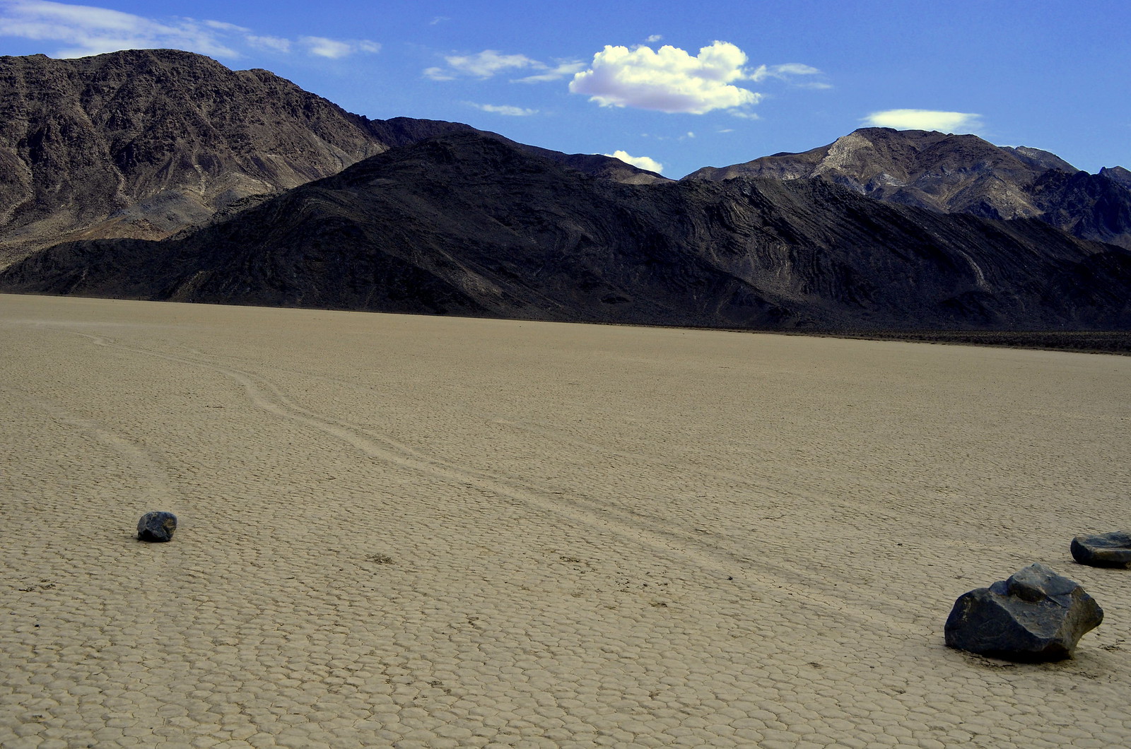
By far the most awe inspiring element of a visit to the Racetrack Playa is witnessing the sailing stones. This phenomenon leaves long trails behind large rocks as they move across the playa surface on their own. These large rocks move, it is speculated, by the winds and very particular conditions that minimize the surface friction. They are definitely not moved by animals or humans. We stopped for lunch here and to further decompress.
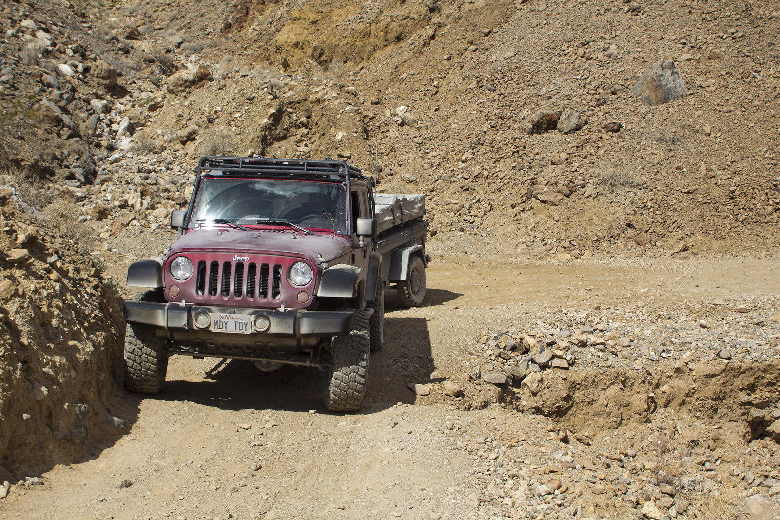
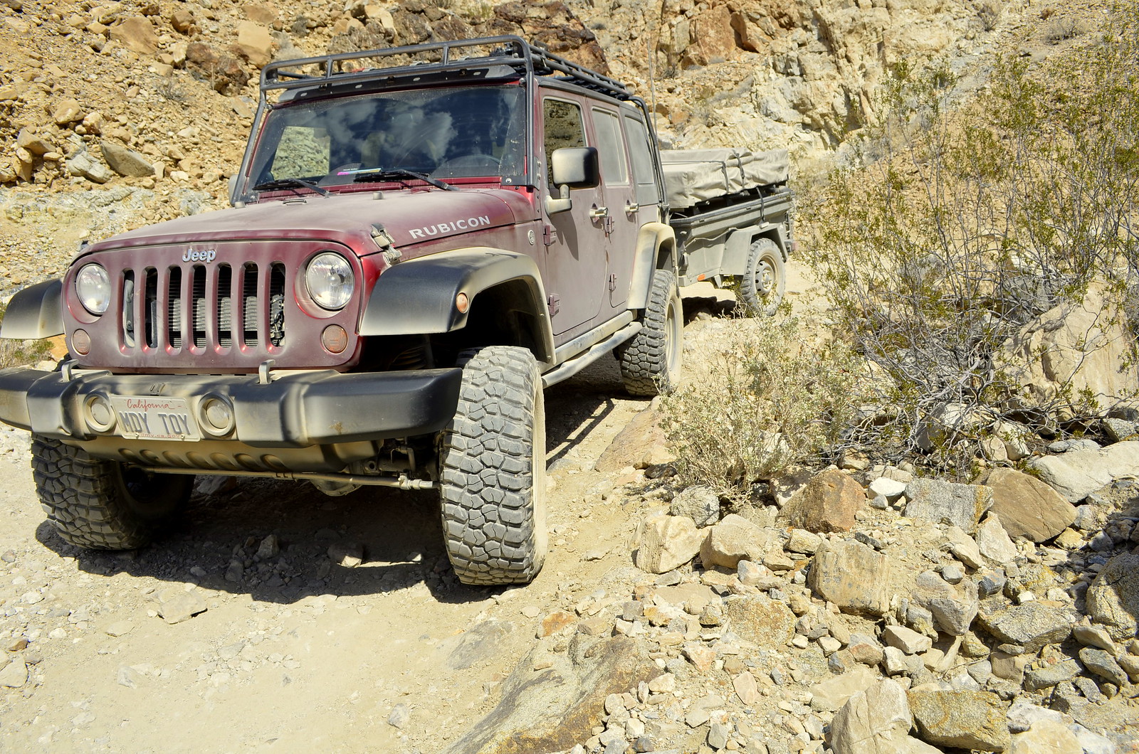
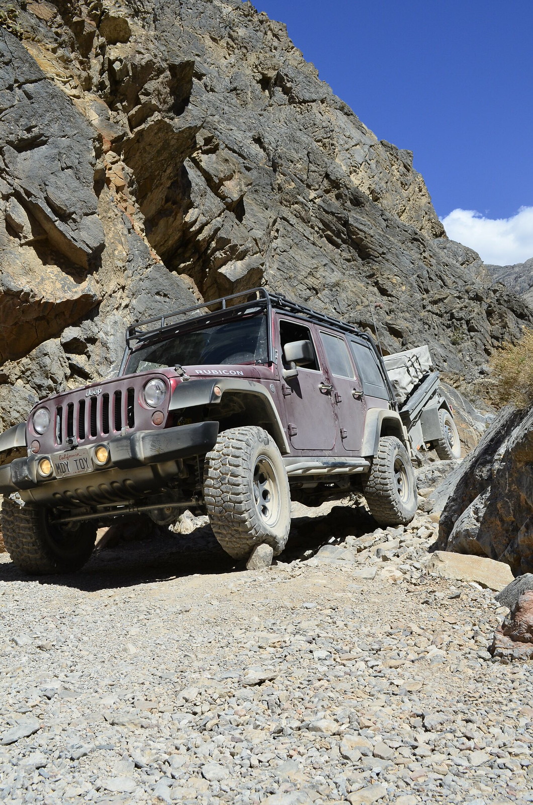
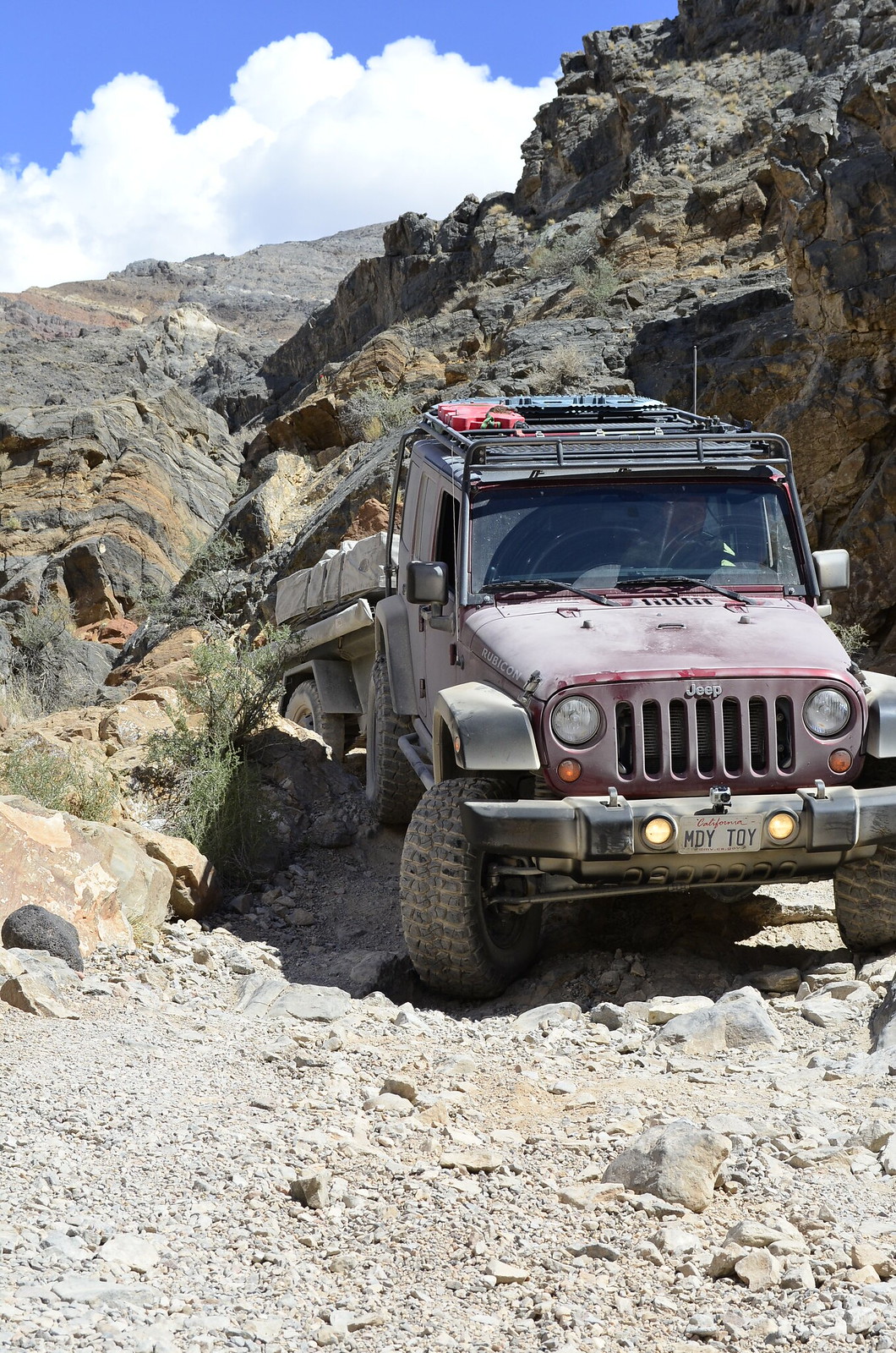
After the Racetrack, we pushed forward to Saline Valley via Lippincott Pass. This is a fairly complex and extremely remote road that descents into the Saline Valley over 7 miles. There are sections of the road that are heavily washed out and require careful navigation to cross safely. You are up very high, so mistakes would result in death. To further complicate things, we were the only ones in our group pulling a trailer. The trailer made some of the switchbacks a little more challenging, but was otherwise not too much of a problem with the nice 4:1 Low Range gears in our Rubicon.
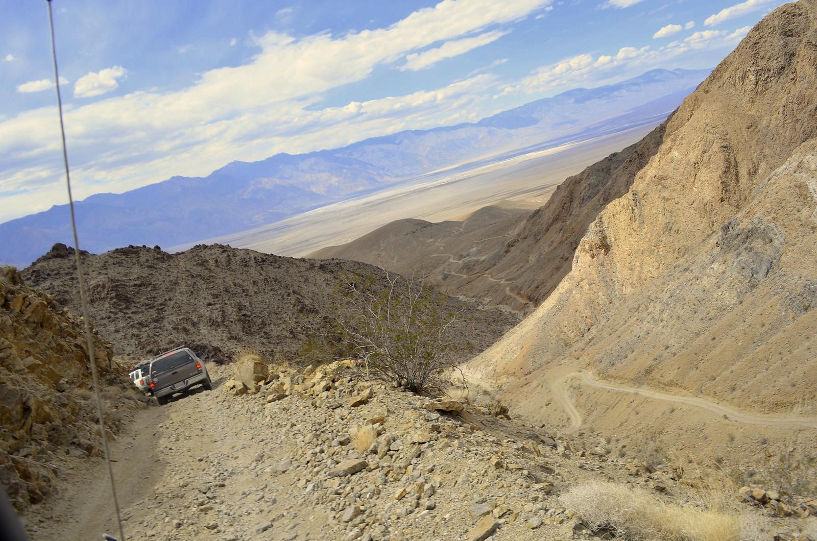
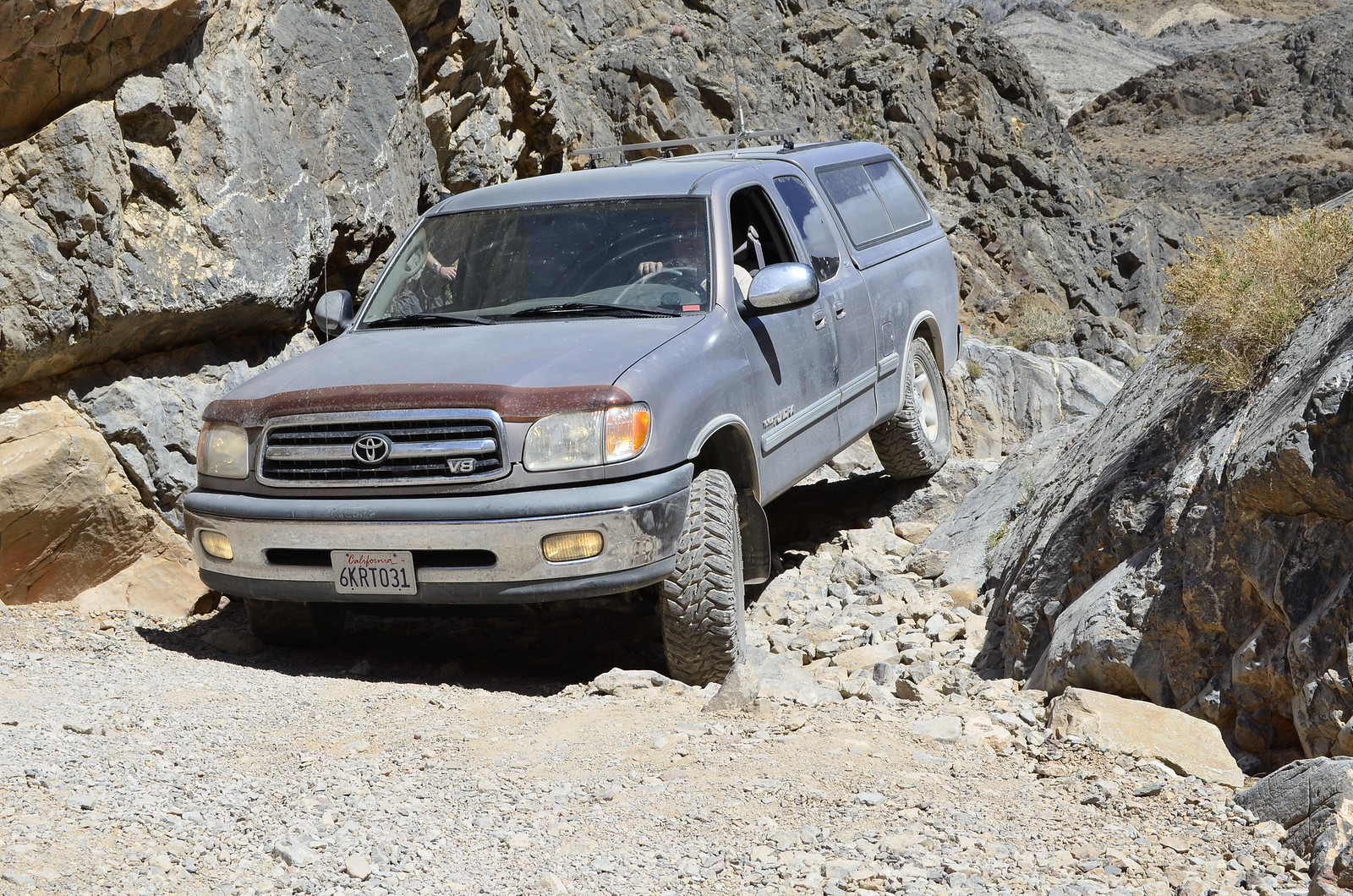
We had two full sized trucks with us that had an even more difficult time with the washed out sections of the road. We took it easy, and at a slow and steady pace, we all made it through with no issues. The descent offers some nice views from high up, and offers some undesirable but beautiful distractions to the driver that make it hard to keep your eyes on the road 100% of the time. It’s important to stop and take in the scenery safely.

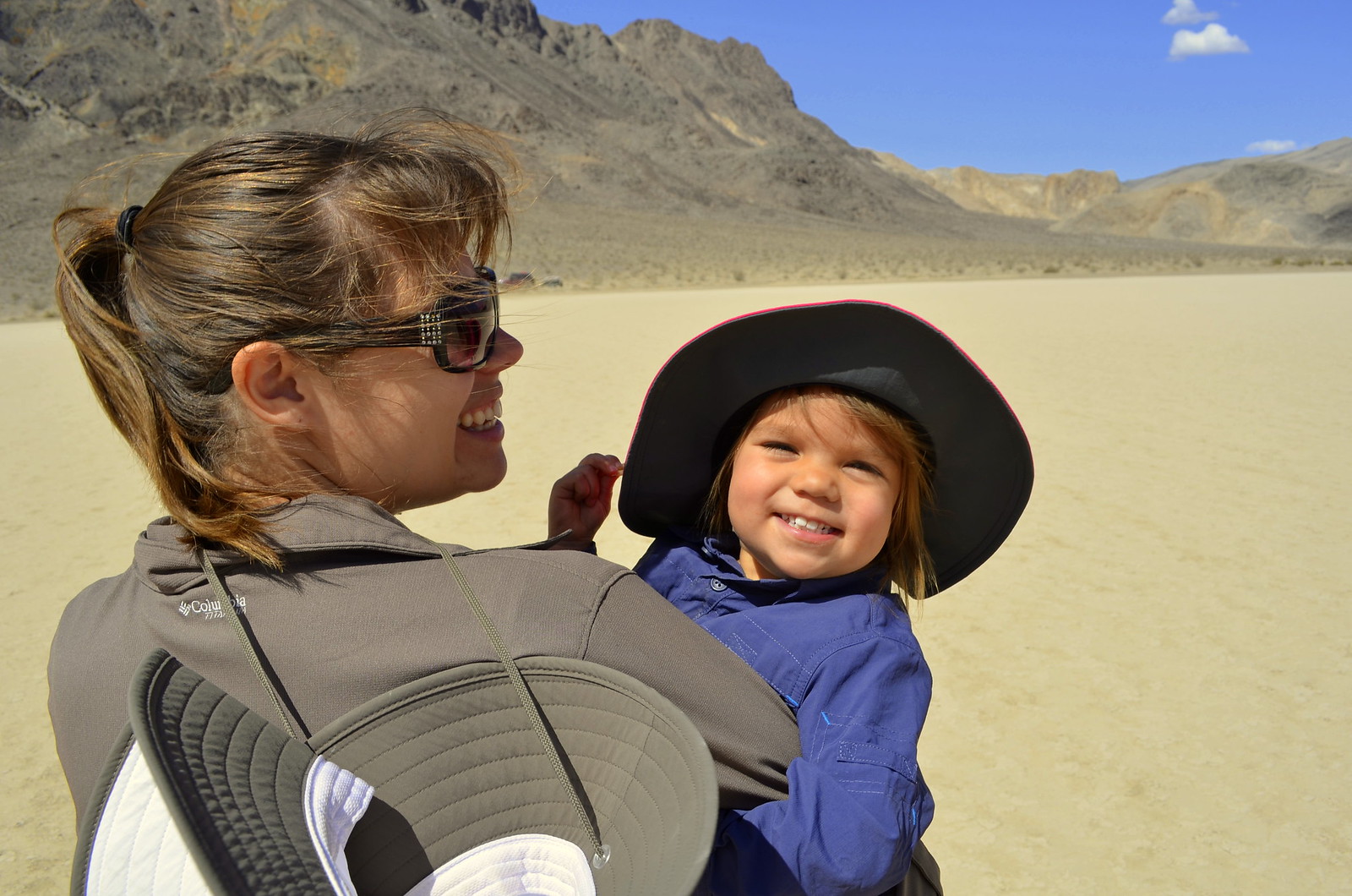
Once down we had a nice ride through terrain that had more vegetation. Our destination was the famous Hot Springs and they really sounded inviting to relax and enjoy the rest of the evening. We made good time and arrived at the Hot Springs with ample time to enjoy a dip in the springs. It was our first visit here, and I will say that it is quite a liberal and freeing place to be. As our group, including my 2 year old daughter were enjoying our time in a hot spring, we were joined by some of the free spirits in their birthday suits. Though shocking at first, it was also a bit freeing to the soul to be among such a carefree environment. The awkward feelings of our conservative world soon withered away and the true spirit of the springs could be seen all around us. A place where all your reservations can go out the window and you can be a human in the most natural way.
The Springs give you a large sense of community. What stands out the most is the collective efforts by everyone to upkeep the grounds. A trip to the restroom makes this evident, with an abundance of supplies of all sorts that are donated by visitors. You have hand sanitizer dispensers, lotions, hygienic products, etc. There are shower areas that were made to rinse off before entering the springs, and even those are stocked with soaps and shampoos left behind by others for community use. It is definitely an experience beyond just the springs.
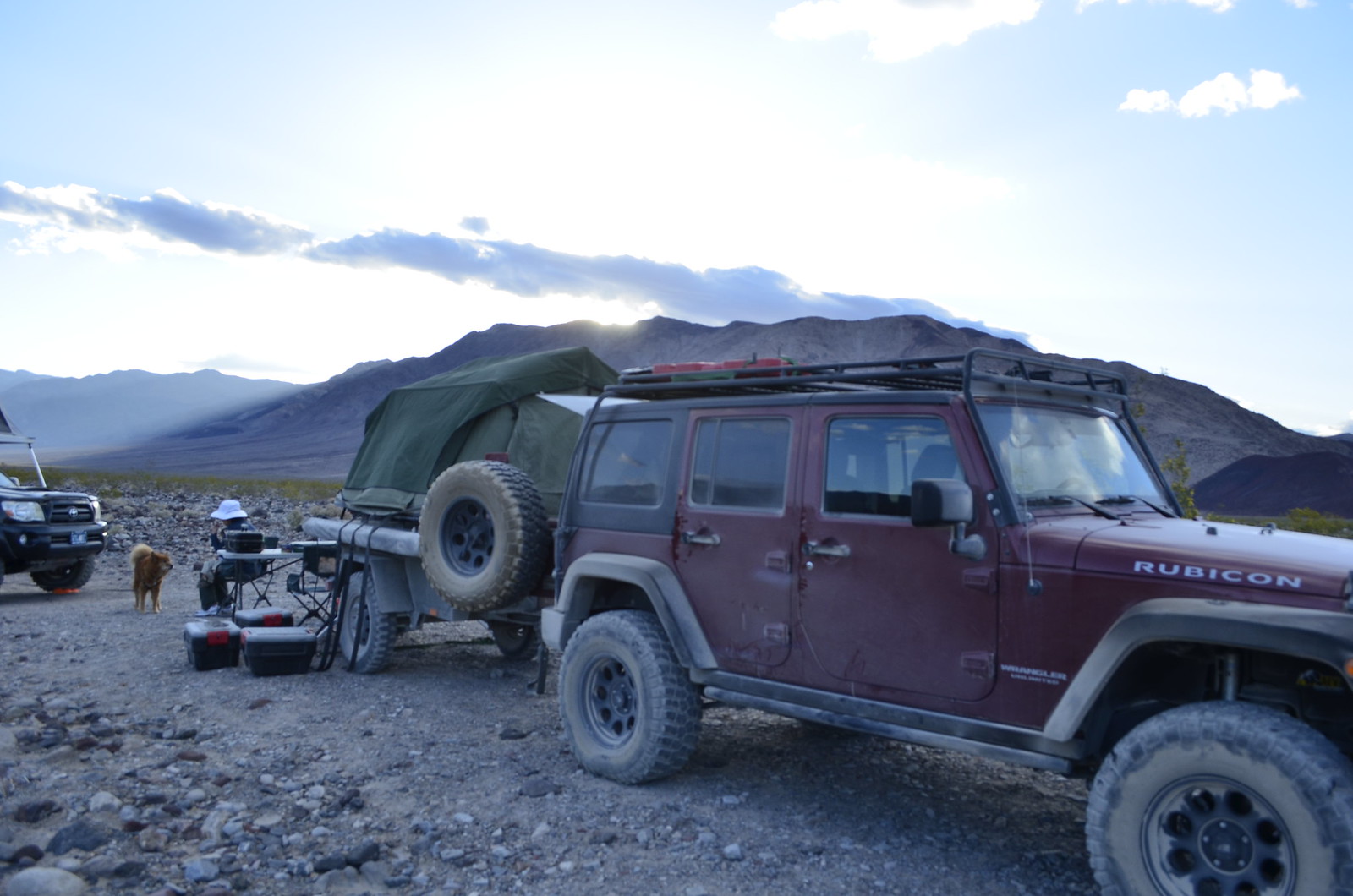
After making a few friends at the springs and enjoying the company of our group, we headed back to our camp area and had an elaborate dinner. We enjoyed a campfire and some good conversation well into the night.


It was a windy night; very high winds rocked us to sleep for most of the night, sometimes waking us more than nurturing our sleep. It was the end of a great day.
Day 3 Photo Gallery:
Day 4:
The final day of our journey began with a calm and relaxing breakfast at the springs. We had a reduced schedule for the first half of the day, with the second half being the journey home. The wind died out and the sun was peeking through revealing the start of another beautiful hot day in Death Valley.
We left the springs in search of our final destination, the Eureka Sand Dunes. This trek took us through the infamous Steel Pass. Steel Pass is another very remote road within Death Valley National park that spans 25 miles from the Saline Valley Hot Springs climbing up to the peak of Steel Pass before descending into Dedeckera Canyon and ending with the great reveal of the Eureka Dunes. With the long wheel base trucks in our group and our trailer, we enjoyed the challenges that Steel Pass presented.

After a slow descent and lots of photo ops, we were all ready for lunch. The walls of Dedeckera Canyon provided great shade and a nice spot to enjoy our last meal together. I broke out our table and we put together another lunchtime feast with several options from simple PB&J to Sandwiches and Cheese & Salami or a variety of snacks.
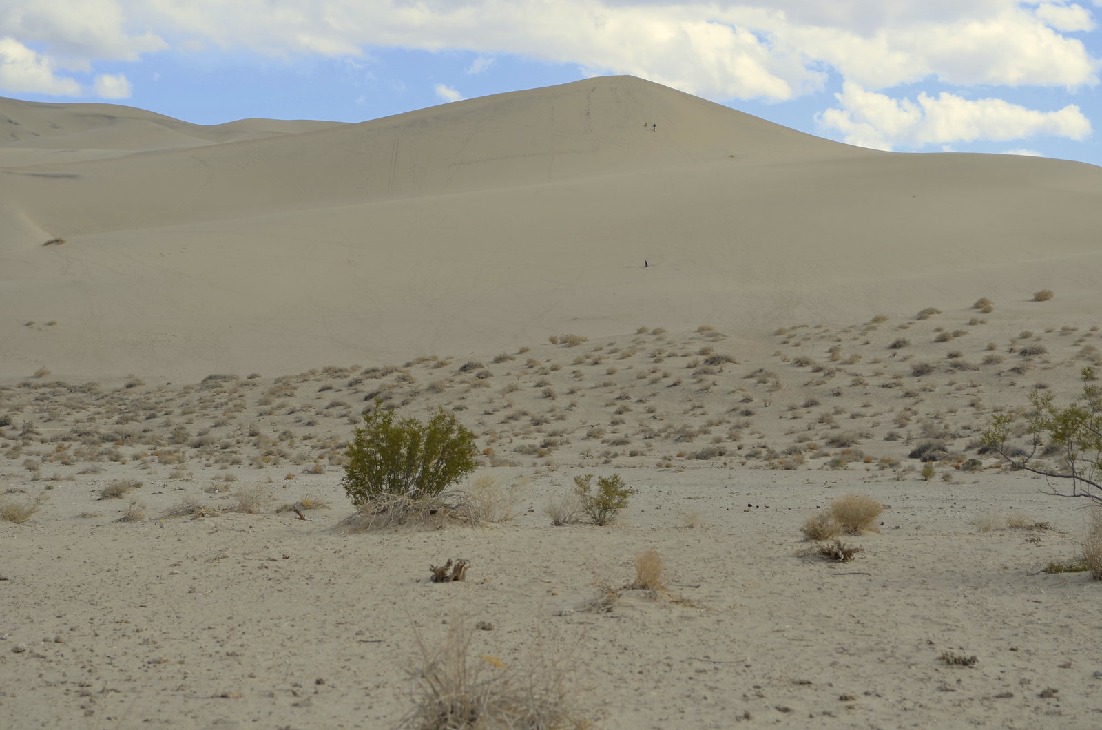
After lunch, it was long before we got our first peak at the Eureka Sand Dunes. At a distance, it was hard to grasp just how large they are.
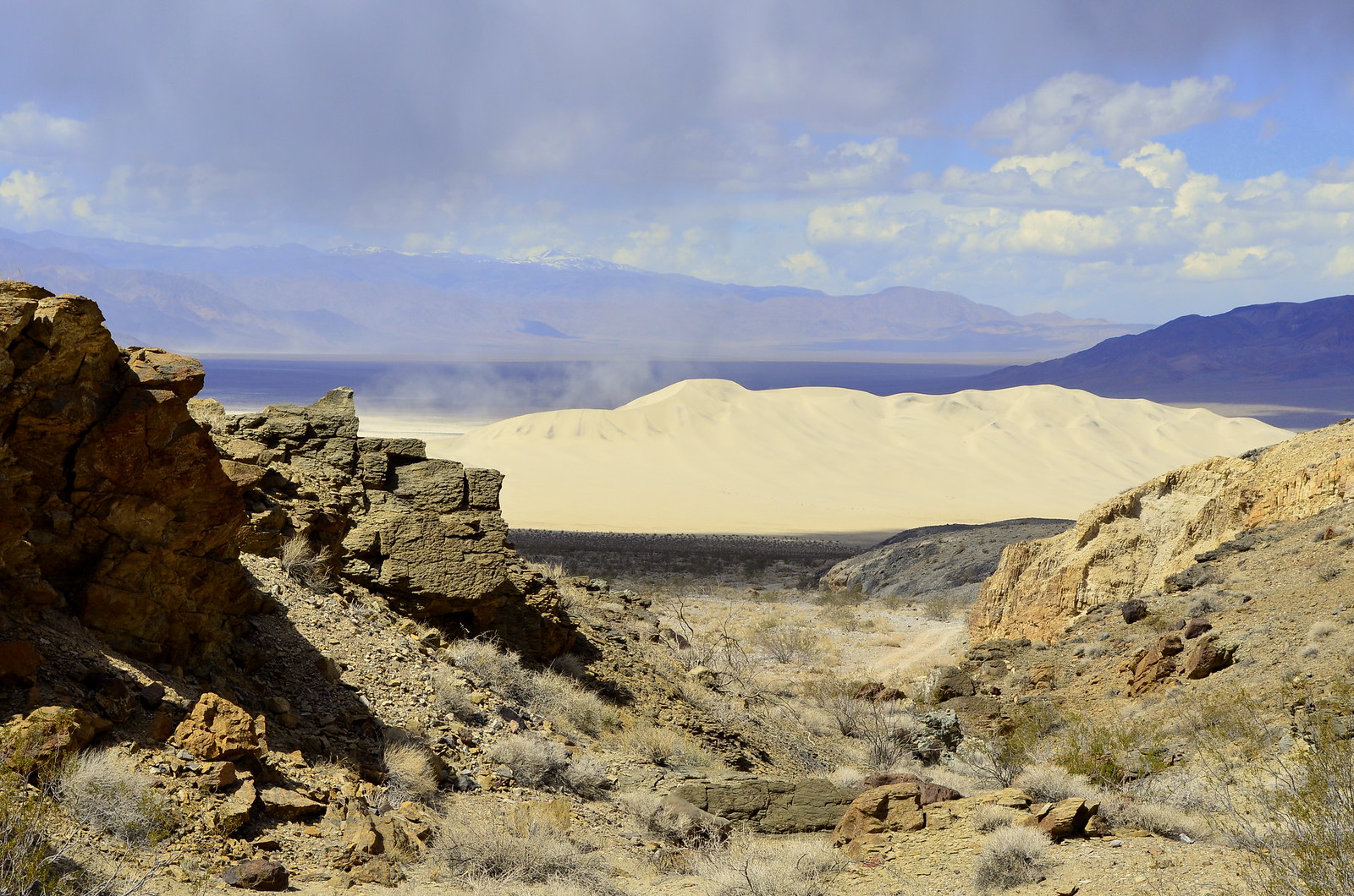
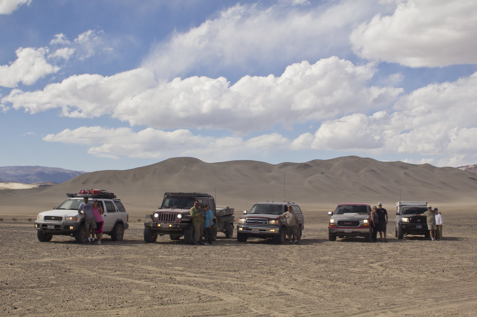
We made our way over enjoying some high speed soft sand driving along the way. A much welcomed change from the rocky and washed out roads we’d been traveling for days. As we drove closer and closer to the dunes, they kept enlarging before our eyes and revealing their vastness. We stopped for a group shot, far enough away that we were able to get the entire dunes area in the background.
We made our way to the base of the dunes to play for a bit. This was our last stop within Death Valley National Park and it did not disappoint. We had so much fun that I forgot to take photos!

After some play time at the dunes, we had one last stretch of massive washboard road. It was time to put the suspensions to work again. We hit 60+ miles an hour out of there to minimize the effects of the wash-boarding, it helped some, but it definitely warmed up the shocks. As we approached pavement, we stopped to air back our tires back to street pressure and perform a final visual inspection of our vehicles prior to splitting up to our respective destinations.